


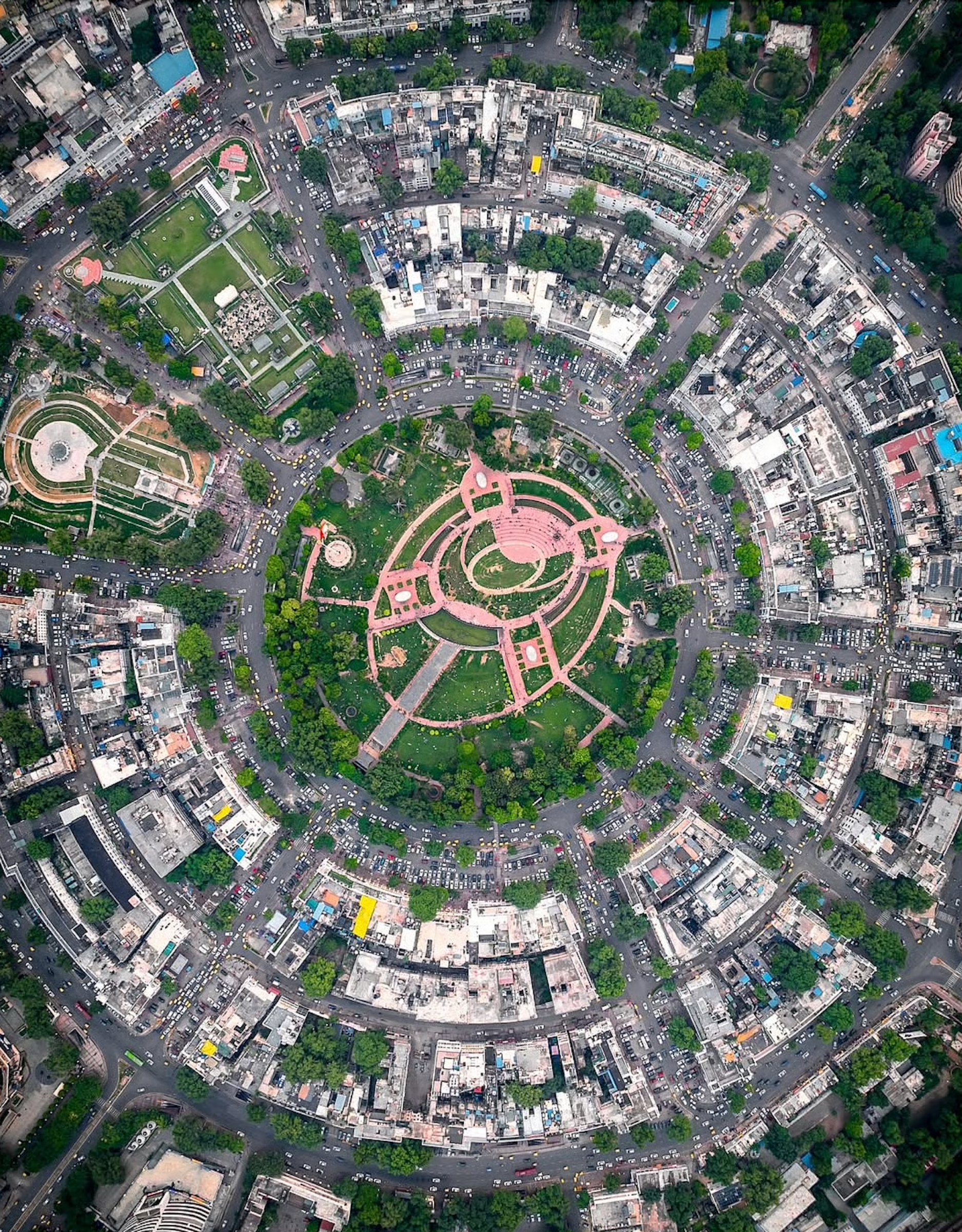
")

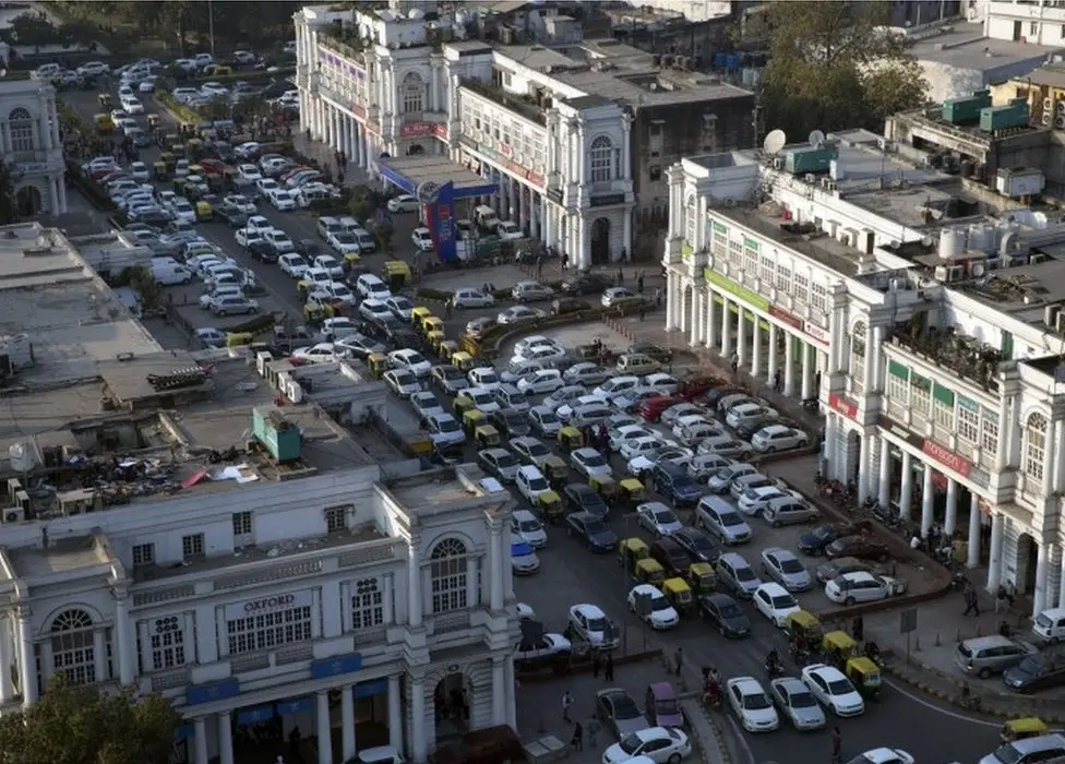
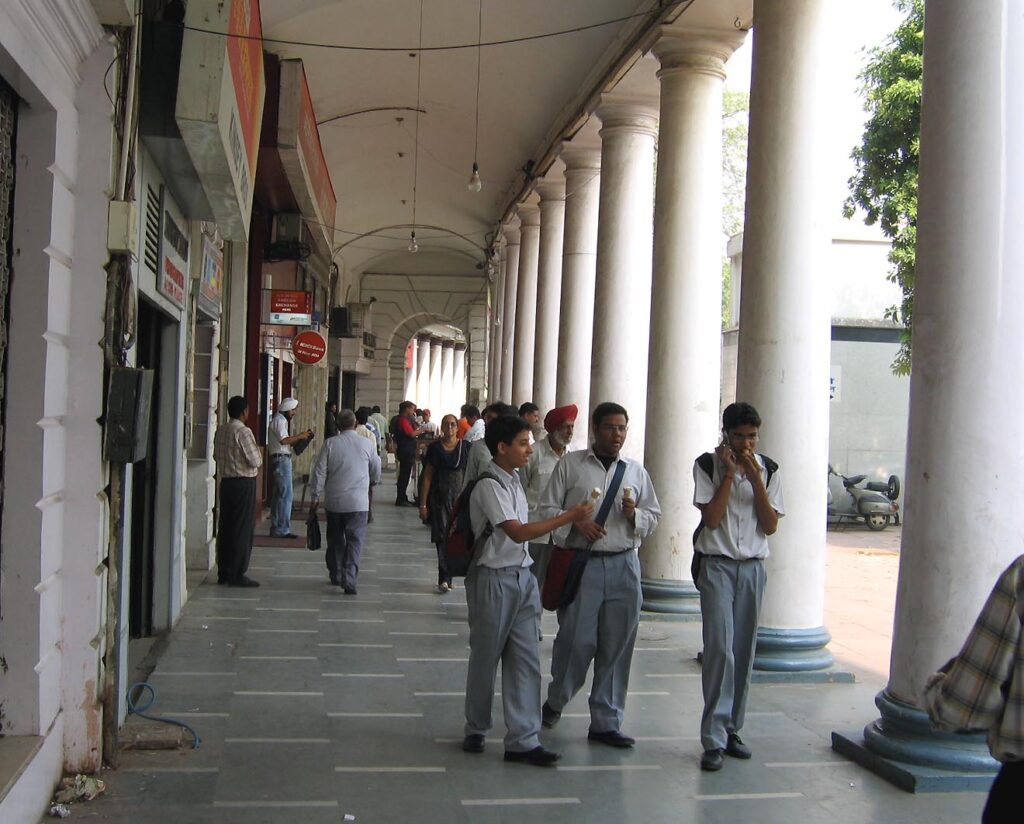
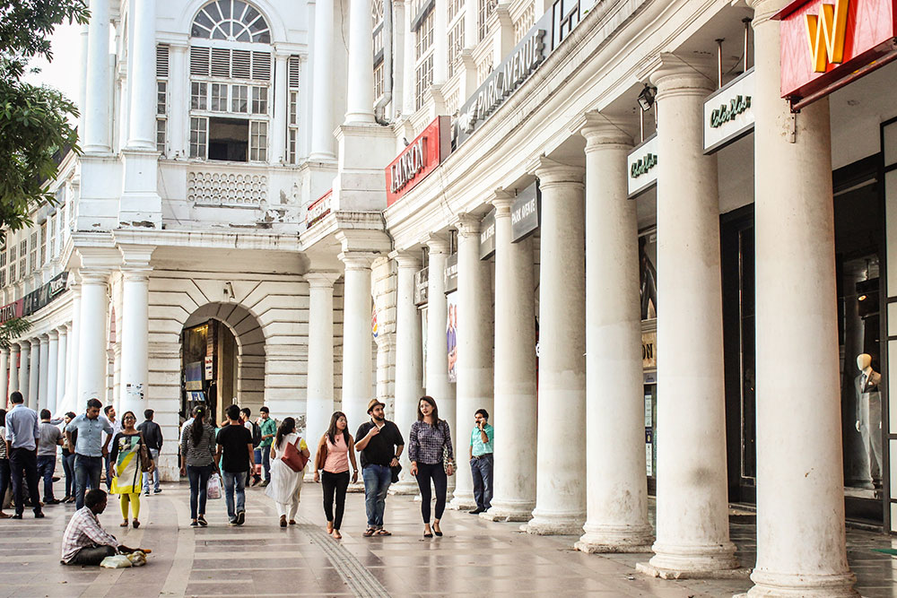
Restaurants / Outdoor Cafes on Connaught Place
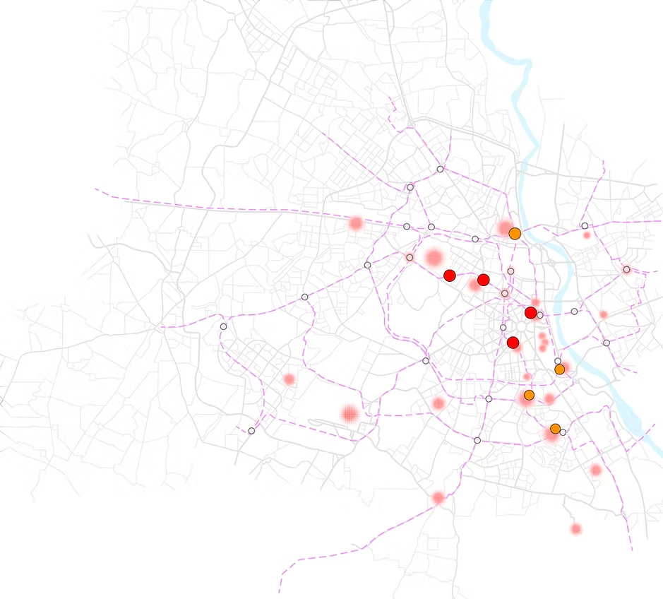
Services on Connaught Place

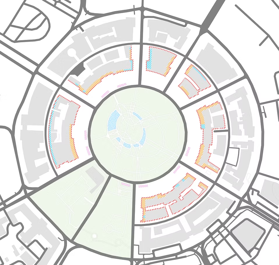
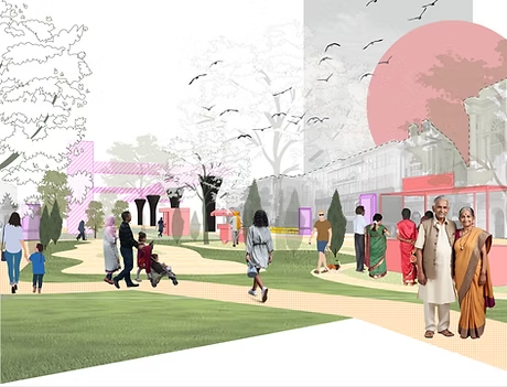
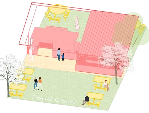
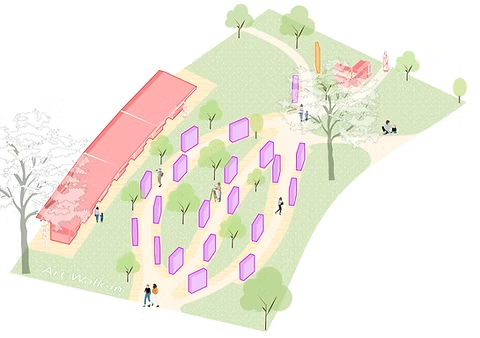
A1. A view of the food court, the artist's walkthrough
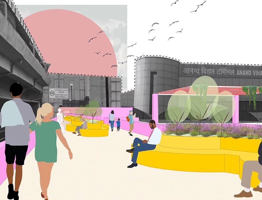
A2. View across the Palika Bazaar, where the
south-west pedestrian bridge connects.
A3. View from the site’s northeast edge,
linked by the second pedestrian bridge.
A1. A view of the food court, the artist's walkthrough

A2. View across the Palika Bazaar, where the south-west
pedestrian bridge connects.
A3. View from the site’s northeast edge, linked
by the second pedestrian bridge.

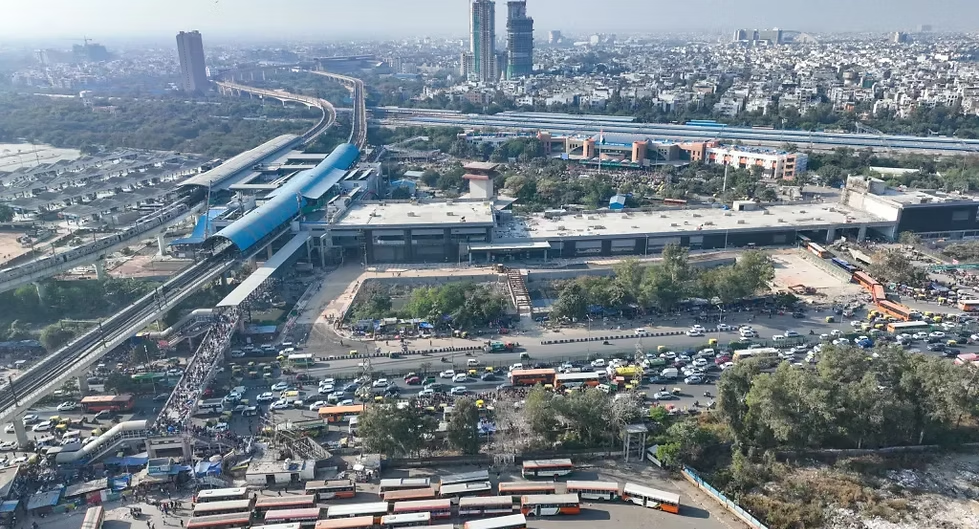


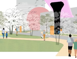
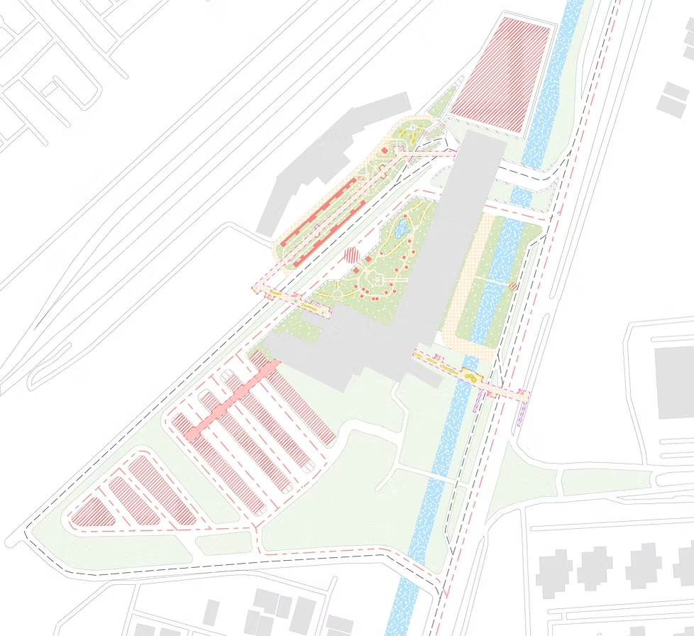
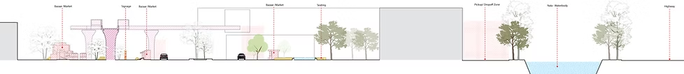
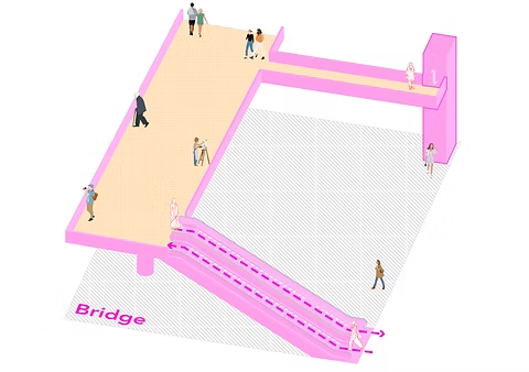
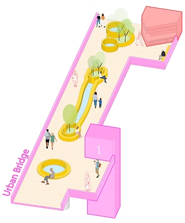
B1. View of the newly redesigned Urban Bridge
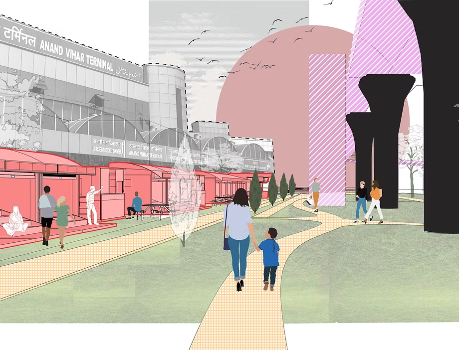
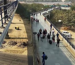
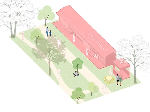
B2. A view under the Urban Bridge of the bazaar/ marketplace
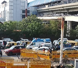
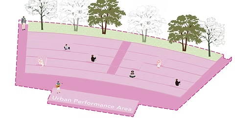
B3. View of the Car-Taxi Drop-off and Pick-up islands
B1. View of the newly redesigned Urban Bridge

B2. A view under the Urban Bridge of the bazaar/ marketplacepedestrian bridge connects.

B3. View of the Car-Taxi Drop-off and Pick-up islands
Add Your Tooltip Text Here
Add Your Tooltip Text Here
Add Your Tooltip Text Here
Add Your Tooltip Text Here
Add Your Tooltip Text Here
Add Your Tooltip Text Here